Our Purpose
The Vancouver GIS Users Group is a group of GIS professionals using geographic information systems for spatial data management, analysis, and visualization. Formed to facilitate communication between people working in all areas of GIS, the users group meets monthly to allow its members to learn more about current activities and technologies within the industry and to network with their peers.
Meetings
Our season runs September through May. Meetings are typically held in the evening, with a social period before the presentation and plenty of time afterward to network with other members.
When: Monthly, evenings, September–May
Where: Location varies by month – see the upcoming speaker details below
Cost: Free to attend, all GIS professionals welcome
Upcoming Speakers for October 2026
Date: Oct 14th, 2026
Topic: From Shade to Accessibility: What GIS Misses on the Ground
Time: 17:30
Abstract: GIS can tell us where shade, cooling resources, and accessible routes are located, but it cannot always tell us whether people can comfortably and safely reach or use them.
Building on my UBC shade equity modelling work, I will share how this research evolved into Our Neighbourhood Cooling Map, a community-based project in Vancouver, and how my experiences over the summer led me to explore broader questions around spatial accessibility.
Through community engagement and conversations with organizations working with older adults, people with disabilities, and other community groups, I have been qualitatively exploring different mobility barriers, everyday accessibility challenges, and the role of existing community programs and support services.
This presentation will share some of these early observations, the limitations of conventional GIS accessibility measures, and emerging questions about how spatial data, community knowledge, and existing resources might be better connected.
Rather than presenting a completed accessibility study, I hope to share the evolution of this work, exchange ideas, and connect with others interested in community-based GIS, accessibility, and climate resilience.
Bio: Hengyin Liao is a graduate of UBC's Master of Geomatics for Environmental Management program. Her work focuses on GIS, spatial accessibility, urban climate resilience, and community-engaged mapping. Her graduate capstone examined shade distribution and equity at UBC, which she later extended into Our Neighbourhood Cooling Map, a community-based initiative connecting spatial analysis with local knowledge and everyday accessibility. She is currently exploring how GIS can help identify mobility barriers and connect communities with relevant resources and support.
In Person Location: CBRE Limited – located in MNP Tower, 1021 West Hastings Street, Suite 2500, Vancouver
Online Zoom ID: 927 7888 0868 Passcode: 294837
Looking for talks from previous meetings? Browse past speakers →
Upcoming Speakers
Date: November, 2026
Speaker: Dale Norman speaks about GIS and Archaeology
Date: December, 2026
Speaker: Naz Ali
Date: January, 2027
Speaker: Mike Burnett
Sponsors
We're grateful to the organizations that support the group by hosting meetings, sponsoring refreshments, and helping us keep membership free.



Links
- Professional associations CAG–ACG Geospatial Professional Network – USA
- Local education & research BCIT Geomatics
- Data & mapping tools Open Data – Canada
Upcoming Events
GIS Day
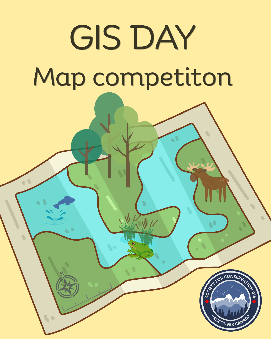
The challenge: Create a compelling map that explores, communicates, or celebrates a conservation-related theme. Your map can address biodiversity, wildlife, ecosystems, protected areas, environmental change, restoration, climate impacts, human–environment interactions, or any other conservation challenge. Vancouver, BC, and Canadian conservation stories are especially encouraged, but a local focus isn't required.
Who can enter: Anyone who wants to tell a conservation story through maps!
Deadline: Wednesday, November 11, 2026
There are prizes to be won. Let's map for conservation!
Have a suggestion for an upcoming GIS event, topic, or venue? Let us know – the group runs on member input.
Suggest EventJoin the Group
Membership is free and open to any GIS professional in the Vancouver area. Email us to be added to the mailing list and hear about upcoming meetings.
Join by email